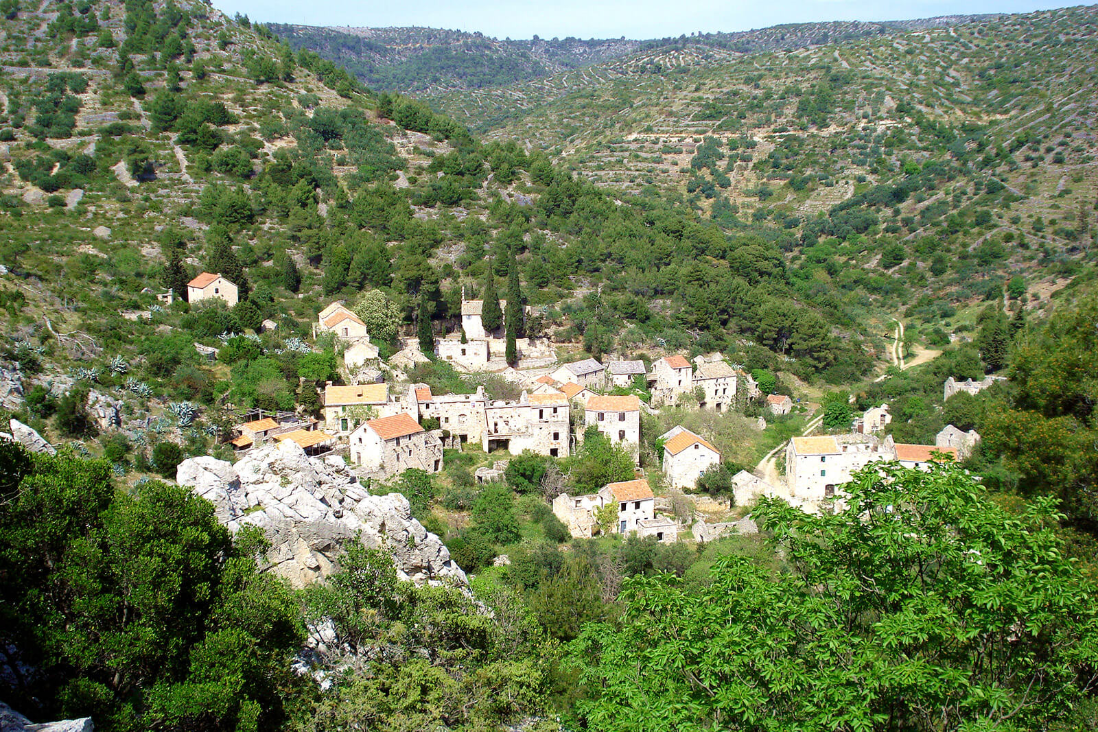
Hvar • Milna • Velo Grablje • Brusje • Hvar
Circular track, located on the western area of the island. Track begins at centre of town Hvar, next to the bus station, and continues on the state road D-116 towards east to Milna settlement. After that we take the unpaved roads towards north, leading trough Malo Grablje settlement to the Velo Grablje village. Track merges onto tarmac road leading west, over the Brusje village and ending back in town Hvar.
The track is a combination of asphalt and unpaved road, with 20,5km in length.
Length 20,50 km
Asphalt 17,40 km/84,88%
Macadam 3,10 km/ 15,12%
Lowest point 7 m
Highest point 409 m
Altitude 544 m
Download the code here.