Milna • Dubovica • Moča • Malo Grablje • Milna
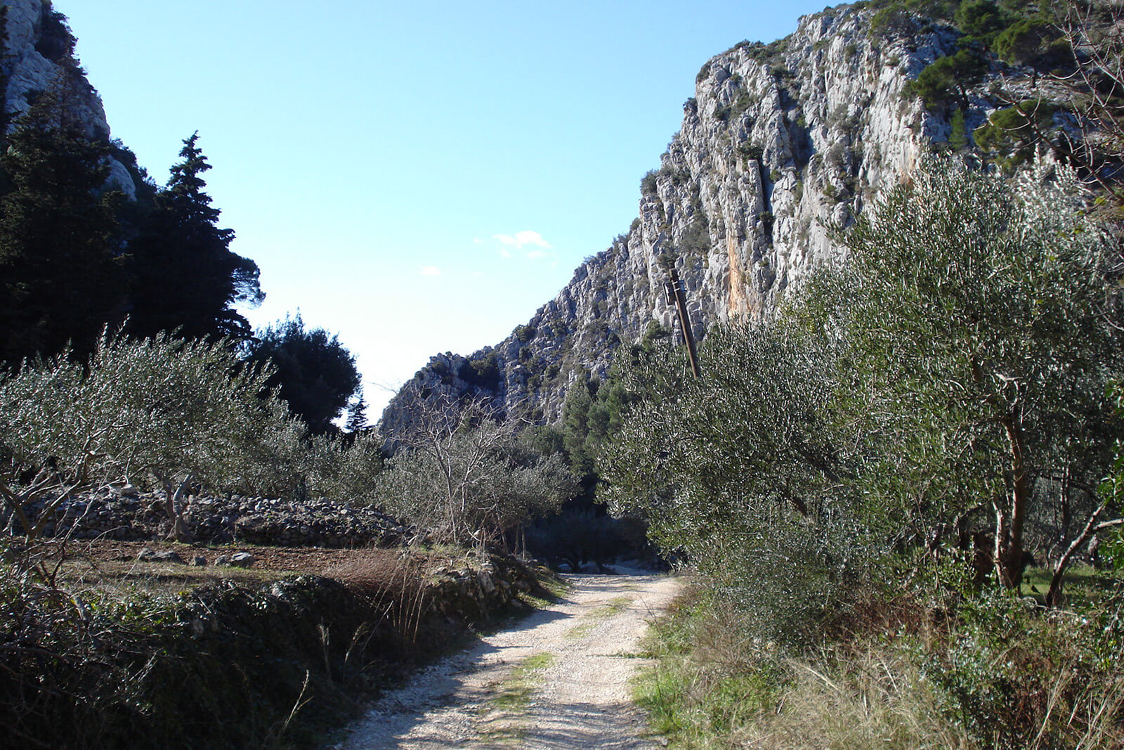
This circular path is located on the western part of the island. It begins in Milna village, and continues east on the state road and Selca tunnel. We take the unpaved road from there up to the top, where we turn west to reach the viewpoint above Velo Grablje settlement. The track connects to tarmac leading above Velo Grablje, and just before Brusje we take the unpaved road again leading us through an abandoned settlement Malo Grablje, all the way towards Milna where the track ends.
The track is a combination of asphalt and off roads, 20,5km long.
Length 20,50 km
Asphalt 14,10 km/68,78%
Macadam 6,40 km/31,22%
Lowest point 37 m
Highest point 416 m
Altitude 659 m
Download the code here.