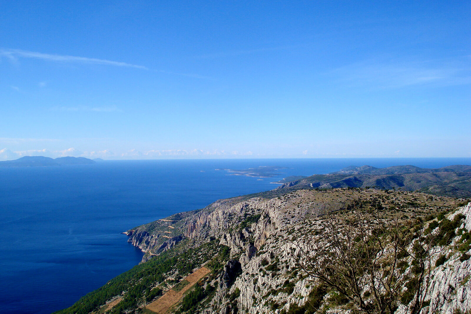
Dubovica • Sv. Nikola • Svirte • Vrisnik • Pitve • Martinica • Zavala • Dubovica
A circular track, 40,5km long, is a combination of tarmac and unpaved road, which passes through the center area of the island. The track starts above the Dubovica bay, on the state road D-116. Just before the Selca tunnel, the road turns into off-road and climbs towards the highest peak of Hvar, St. Nicholas (626m). The track continues through cultivated fields Poljica and Gvozd, up to the point where we descend north through the villages Svirče, Vrisnik and Pitve, all to the Pitve – Zavala tunnel. On this place, the track climbs up the serpentines to the Borovik peak (500m). The serpentines then descend towards the paved road above Zavala village and continue west, all the way to St. Nedjelja village. From St. Nedjelja, we take the off-road leading towards the end of the track, above Dubovica.
Length 40,50 km
Asphalt 14,20 km/35,06%
Macadam 26,30 km/64,94%
Lowest point 17 m
Highest point 591 m
Altitude 1598 m
Download the code here.