Vrboska • Basina • Starogradsko polje • Vrboska
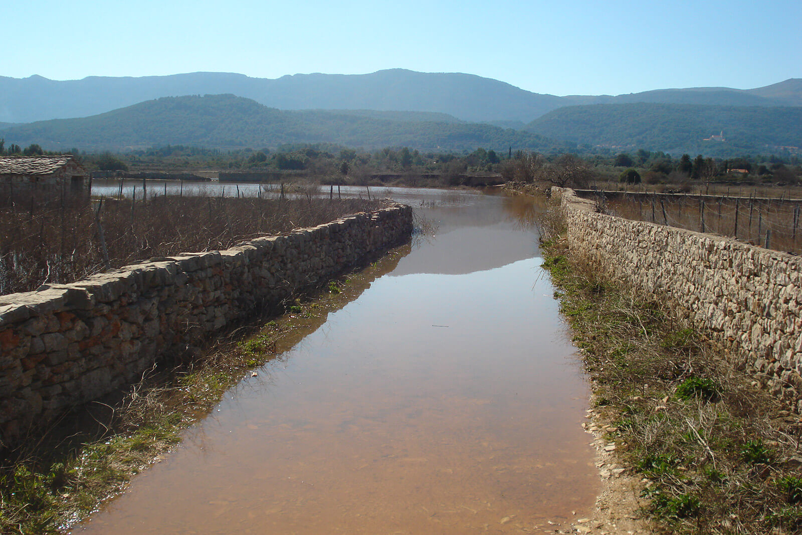
A circular track located in the centre of the island. Most of the track is unpaved and the track itself is 16,3km long. Most of the track goes through Starigrad field and nearby villages. Track starts at Vrboska village, turning north over the bridge up to unpaved road leading through olive gardens and pinewood trees to Maslinica bay, Basin and Borovo, continuing south again to Starigrad fields. Before we reach Stari Grad (old town), the track turns east towards Vrboska back to where it started.
Length 16,30 km
Asphalt 7,80 km/47,85%
Macadam 8,50 km/52,15%
Lowest point 1 m
Highest point 77 m
Altitude 180 m
Download the code here.