Bogomolje • Gdinj • Gdinjske vale – Bogomoljske vale • Bogomolje
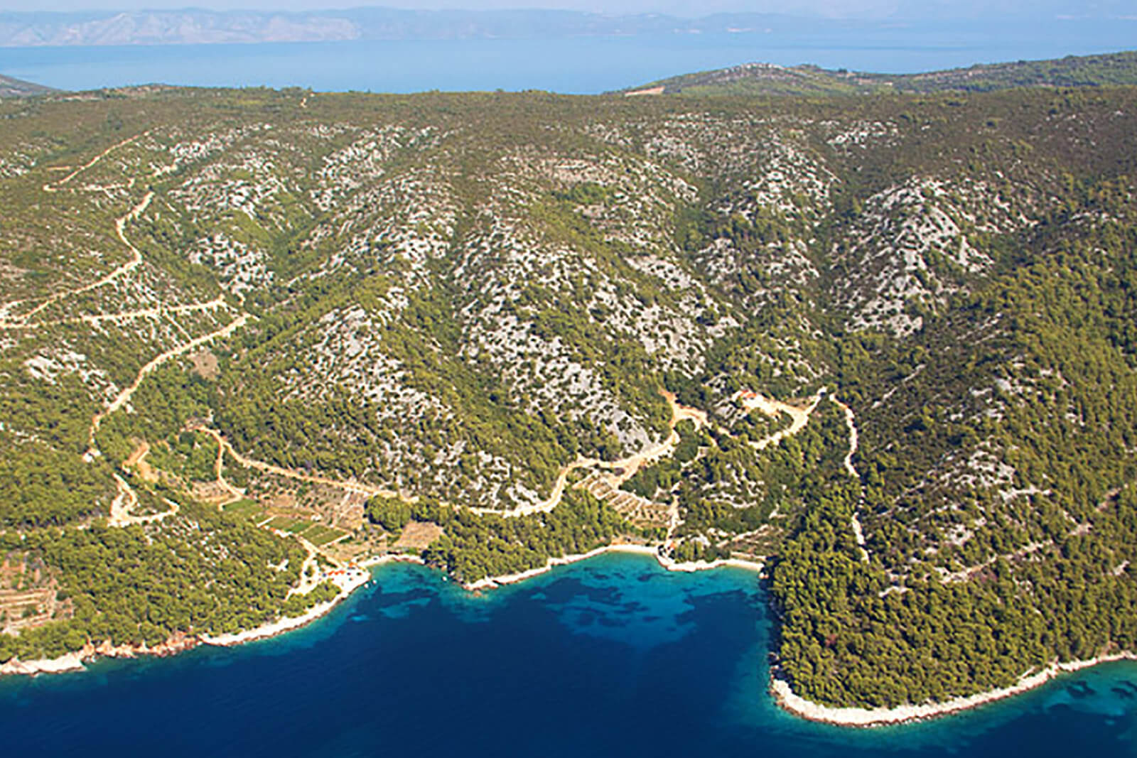
The circular track is on the east part of the island, going along the ridge from east to west, and then descending towards the southern side. The track begins in the village Bogomolje and passes through it, in the direction of north, taking a turn from the tarmac to off road path going through olive garden. Continuing the ascend to north (an easy ascend 220m to 350m) the track connects to the state road D-116 towards Gdinja and Bogomolja bays. We are back on off the road again heading through the bays up to the steep climb towards Bogomolje village. The track is a combination of tarmac and off-road with a total length of 19,8km.
Length 19,80 km
Asphalt 8,60 km/ 43,43%
Macadam 11,20 km/56,56%
Lowest point 0 m
Highest point 351 m
Altitude 647 m
Download the code here.